
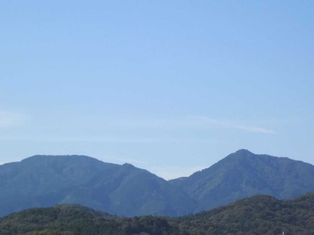
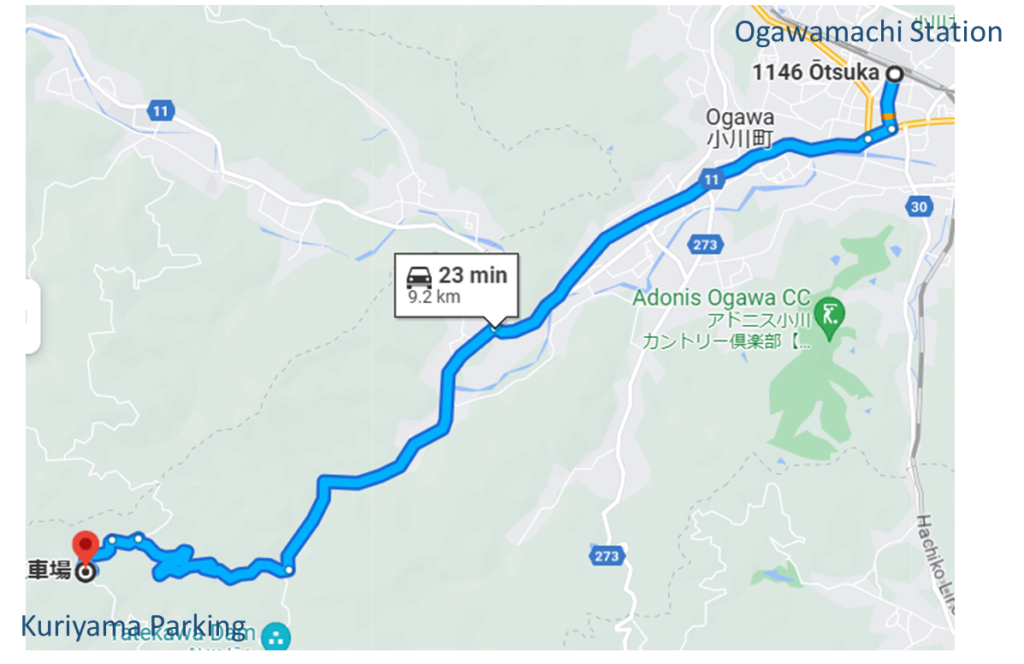
Mt.Kasa is the highest mountain in Ogawamachi. It has pyramidal figure, which is sawn even from a distance. When it is clear sky, even if from Tokyo. Mt.Dodaira is on the south side of Mt.Kasa. It is located in Tokigawamachi, not Ogawamachi. However, since they are often climbed together, I will introduce them together on this site. There are various routes to Mt.Kasa, but since this site is an Ogawa-machi promo site, I will introduce the route from Ogawa-machi. It’s far from the station, so I’ll give you route guidance from the trailhead.
Mt.Kasa :837m Mt.Dodaira:876m
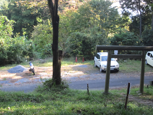
Rote: Parking lot(in Kuriyama)- Mt.kasa-Nanae pass-Mt.Dodaira-Nanae pass-Parking lot.
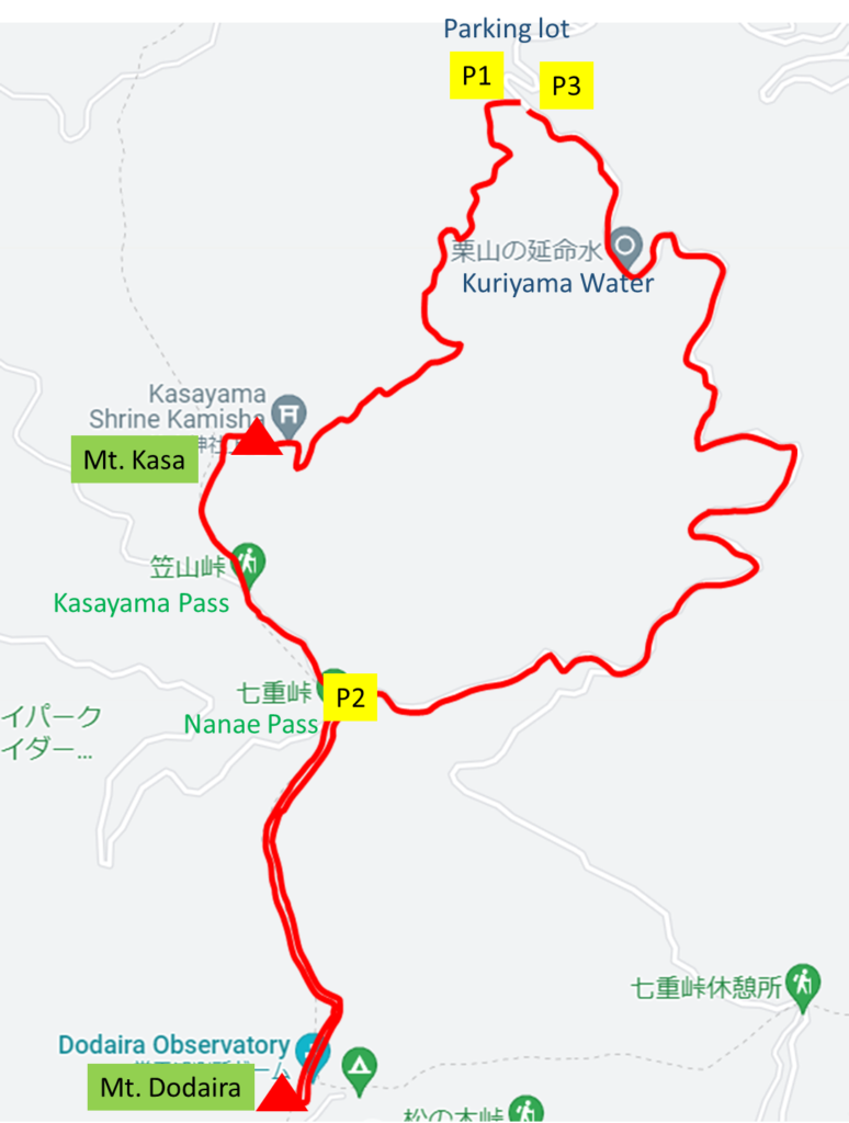
Map
Point Walking distance from station km P1 Trailhead(Parking) 0 Mt.Kasa 2.1 P2 Nanae pass 3.3 Mt.Dodaira 4.6 P2 Nanae pass 5.7 P3Goal(Parking) 8.9
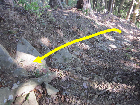
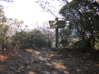
Guide
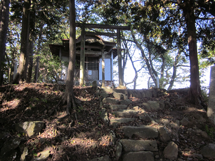

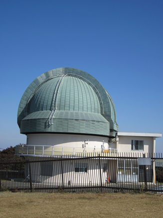
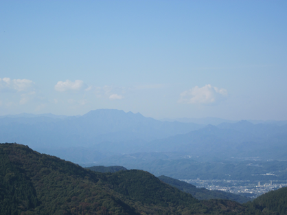
The highest point is on the south side of the observatory, and it is a grassy area with a good view, and if the conditions are good, you can even see the Tokyo skyline in the distance.
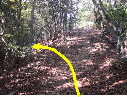
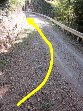
On the way back, go back the way you came to Nanae Pass and follow the road that extends east from the pass back to the parking lot. There is water available near the parking lot, but I do not recommend it for drinking. Just use it to gargle or wash your face.
That’s it for the guide.
Thank you for your hard work.
Please take care on your way home.
See you again.